Property intelligence for commercial & residential insurance
See the property.
Know the risk.
Match an address, policy quote, or SOV to the correct property and return the data needed for pricing, underwriting, and portfolio management.
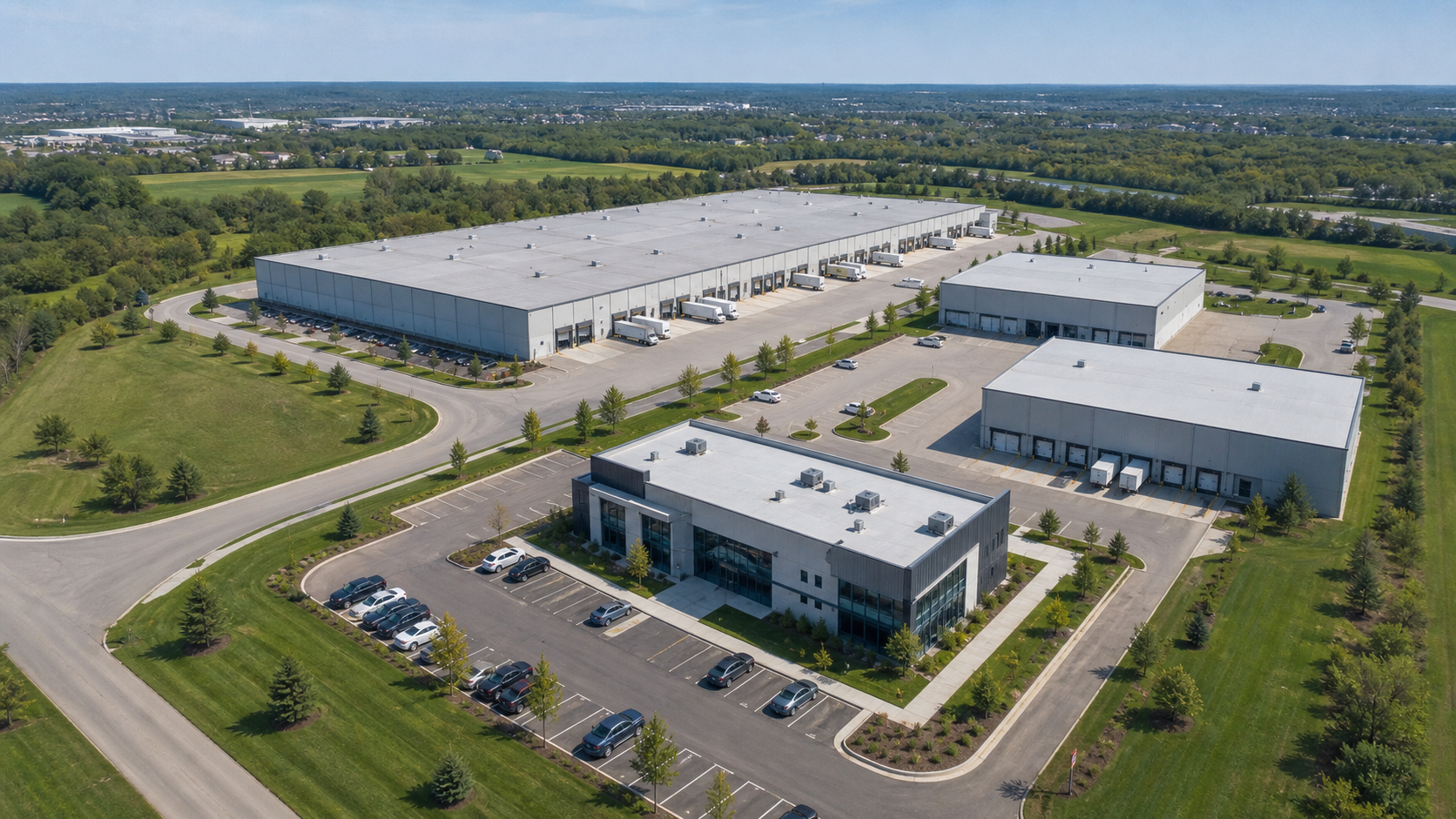
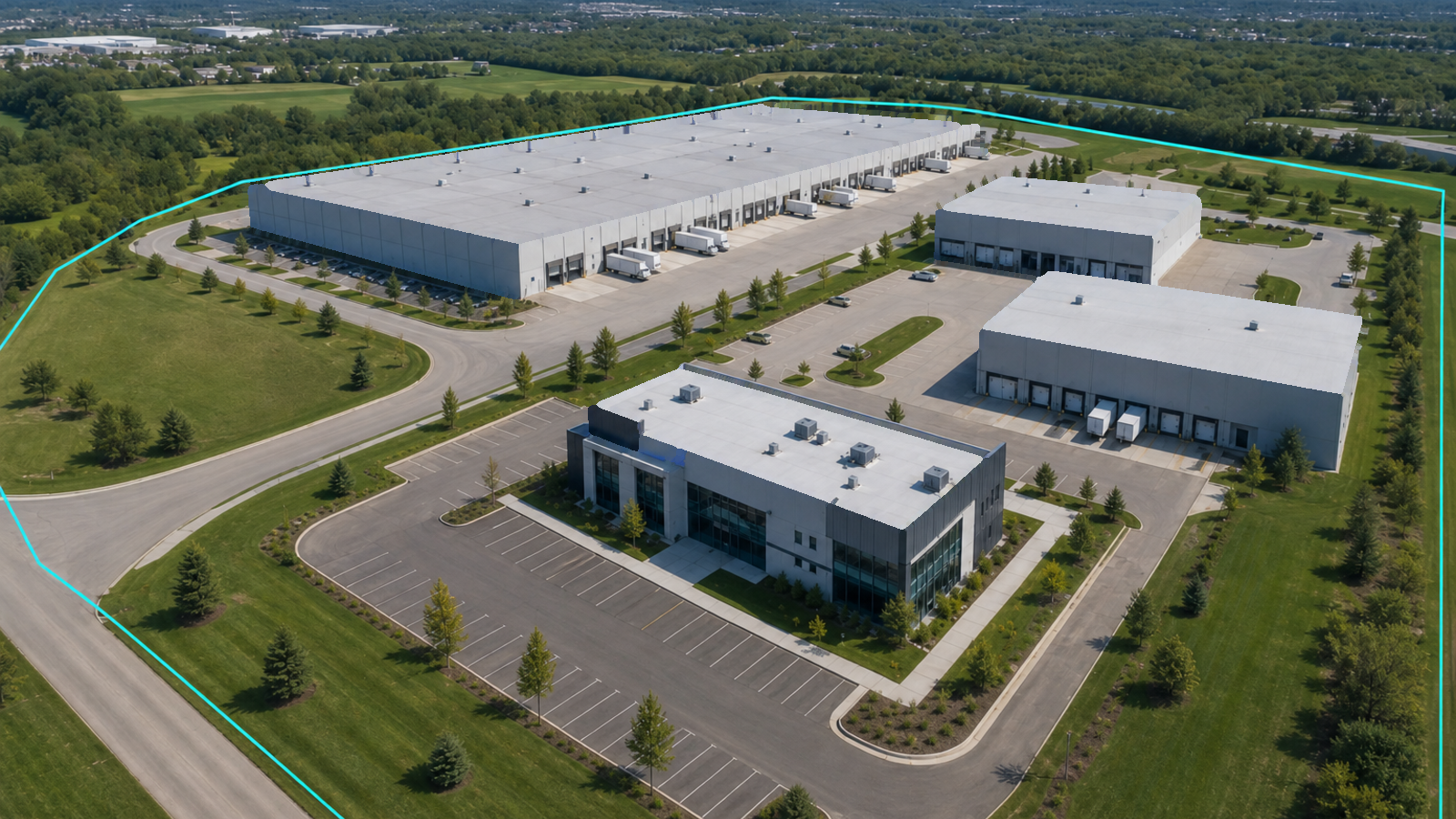
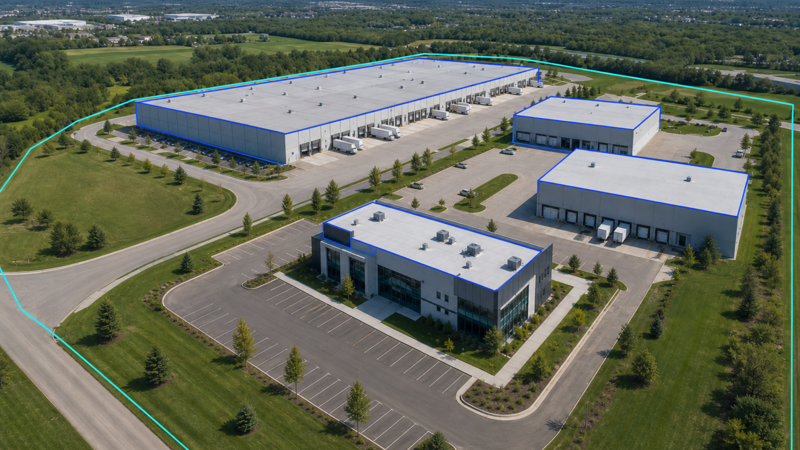
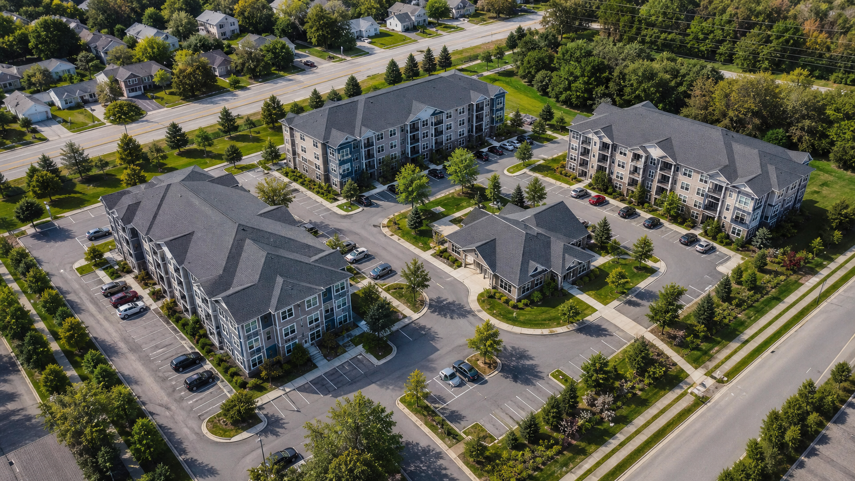
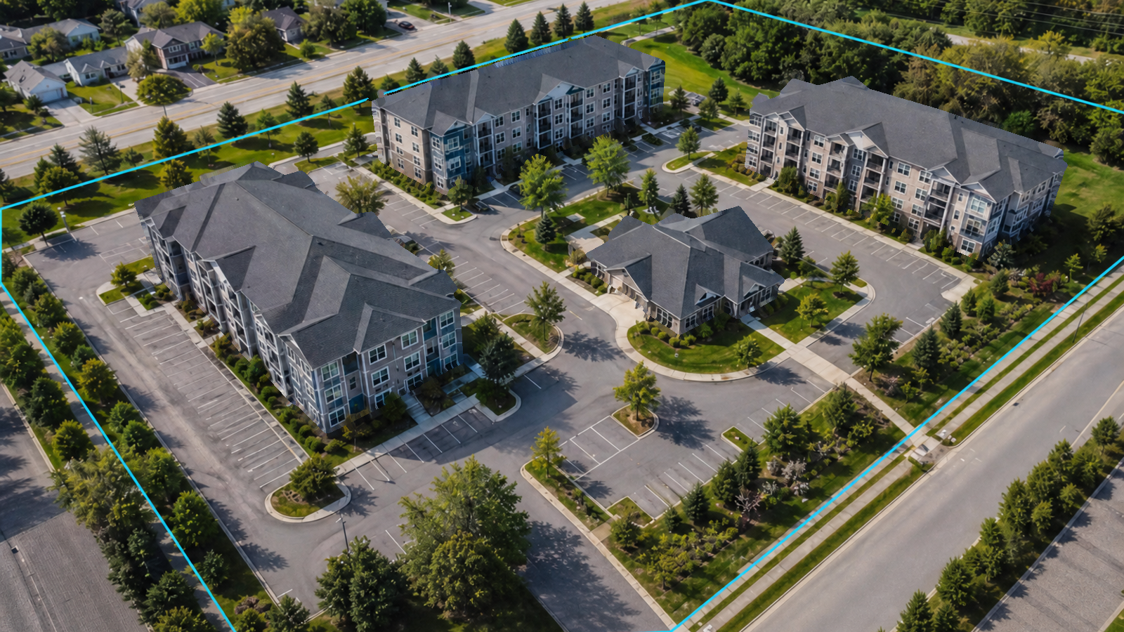
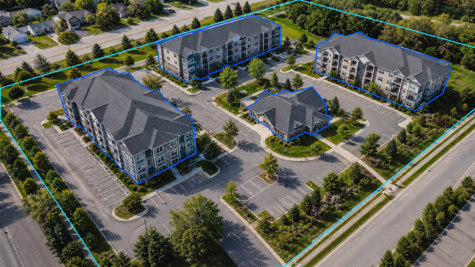
What goes into a profile
Each property profile draws on up to nine data sources.
GetRiskData checks imagery, address, parcel, and property records against each other before it returns a profile.
- Aerial imagery
- Oblique imagery
- Street-level imagery
- LiDAR
- Address points
- Satellite imagery
- Parcel & tax records
- Real estate listings
- POI data
Solutions
How it fits together.
Bring an address, a quote being priced, or a whole book. GetRiskData matches it to the building and returns the result through the API, Workspace, or portfolio analysis.
- An address or coordinates
- A quote being priced
- An SOV or exposure list Normalized by SOV Intelligence
- Geocode to the rooftop Property Geocoding, with confidence and a reason when uncertain
- Match the parcel Parcel boundary, area, and land record
- Resolve every buildingFootprint, stories, construction, condition
- Assemble the property profileQuote-Speed returns in seconds while quoting · Complete for underwriting
Add when the decision needs itChange DetectionSite & Surroundings
When an event hits the book, Disaster Response intersects the footprint with your portfolio.
Product suite
One property profile for pricing, underwriting, and portfolio review.
Enterprise
Security and operations for enterprise insurance teams.
SAML SSO, role-based access, tenant isolation, organization-level encryption, monitoring, and rolling deployments.
See it on your data
Bring a quote, a property,
or an entire portfolio.
See how GetRiskData can support pricing, underwriting, and portfolio decisions.