Core products Property Intelligence APIQuote-Speed and Complete profiles Underwriting WorkspaceEvidence for property decisions Portfolio IntelligenceConcentration across the book
Portfolio operations SOV IntelligenceNormalize, add property data, compare Disaster ResponseAssess properties after an event
Data services Property GeocodingAddress, parcel, building Parcel DataParcel geometry and records Change DetectionMaterial change across cycles Site & SurroundingsTrees, water, and nearby buildings

Not sure which product? See how it fits together

Data services

Parcel Data

Two ways to use parcels: inside GetRiskData profiles and SOVs, or as a standalone US dataset for GIS and API delivery.

getparceldata.com

Parcel intelligence

The land record behind the insured location.

Add parcel polygons and records to SOVs, use them for geocoding, or include them in analysis.

Inside GetRiskData

Polygon and records on the property

Geocoding and Complete profiles return parcel geometry, area, and assessor fields. GetRiskData also adds them to uploaded SOVs.

Standalone US dataset

API and bulk GIS files

Nationwide US parcel boundaries and normalized assessor records, delivered as Shapefile, GeoJSON, GeoPackage, PostGIS, or via API. Order at getparceldata.com.
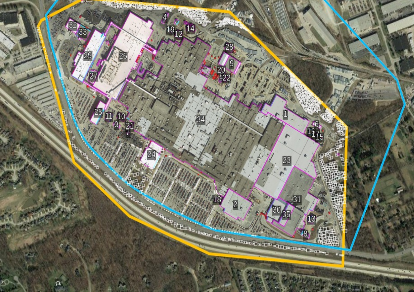
Parcel match1 parcel · 35 buildingsThe property record includes the parcel geometry
Aerial imagery of a retail parcel with the parcel polygon and 35 numbered building footprints outlined Parcel polygon35 building footprints

Parcel Data

Work from the parcel, not only a pin.

Use parcels in GetRiskData, or take the US dataset from getparceldata.com.

Request a demo

See GetRiskData on one of your properties or portfolios.

Tell us what you need. We reply within one business day.